Environmentally Sound Subdivision and Land Development Engineering
Land Planning
Stormwater Quality and Quantity Management Planning and Design
Erosion and Sedimentation Control Planning and Design
Record Plans
Lines and Grades Plans
Construction Improvement Plans
Remedial Design for Hazardous & Petroleum Contaminated Sites
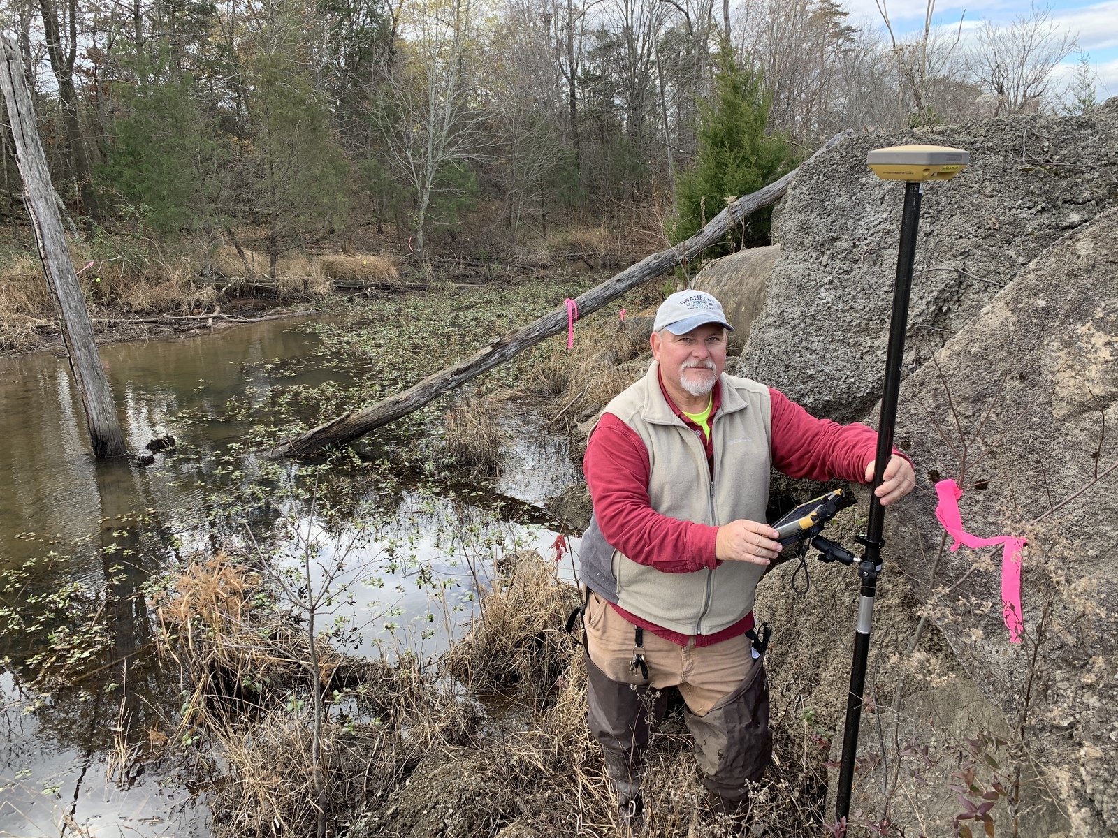
Static & RTK GPS Control and Mapping Surveys
Subsurface Investigation and Field Permeability Tests for Infiltration Practice Design
General Mapping, Topographic and As-built Surveys
ALTA-ACSM Land Title Surveys
Boundary Surveys
Utility Right Of Way Surveys
Construction Stakeout
Wetland Delineation – SECI performs wetland delineations as part of our natural resource and environmental mapping services. At this site we also provided a Phase 1 ESA and an ALTA/NSPS Land Title Survey. The project was completed on a fast track for a regular client.