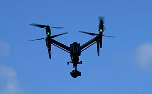
Drone-Based Mapping, Photography and Videography
SECI provides two primary Drone services: (1) Mapping and (2) Photography/Videography for Inspection and Advertising/Marketing purposes. Our team of FAA Part 107 Licensed Pilots assure safe and legal data acquisition.
SECI can assist you with any of your aerial photography/videography and mapping needs.
Mapping Services
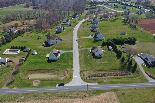
Drone-based Mapping is essentially low altitude photogrammetry. The drone
is tasked to fly over an area of interest using pre-programed flight pattern and take a series of overlapping
downward looking (Nadir) photographs which, using propriety software, are stitched together to make a
seamless 3D digital ortho-mosaic (an image that is scalable) and a topographic model of the site. Mapping
work products are extremely useful for such applications as:
- Topographic and As-built surveys
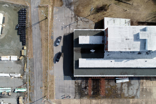
- 3D imaging and modeling of buildings, towers and other structures.
- Monitoring Active Construction sites, Remediation sites and Excavations
- Measuring volumes of stockpiles, landfills, etc.
- Monitoring Natural Resource Restoration Sites (wetlands, forests, etc.)
- Monitoring shorelines for coastal vulnerability
- Accident Maps / Utility Mark-out Maps
- Multi-Spectral, Thermal, and Magnetic Mapping
SECI will typically provide aerial targets at surveyed Ground Control Points (GCPs) so that the orthro-
mosaic imagery and topography are tied to a specific State Plane Coordinate System. When GCPs are
employed, the imagery and contours can be projected in GIS software in context with a host of publicly
available data for analysis and presentation. More advanced analyses include flow accumulation mapping
using the underlying digital elevation model (DEM) and using the 3D model to “fly” through the site.
Photography and Videography
Drone acquired photography and videography can be extremely useful in a wide range of applications.
The drone allows the operator to capture images not possible from the ground. Some of the applications
include, but are not limited to:
- Phase 1 Environmental Site Assessment (ESA) site reconnaissance photos
- Structure measurements, remote and inaccessible areas
- Roof, gutter, siding inspections
- Pavement inspections
- Tower and building inspections
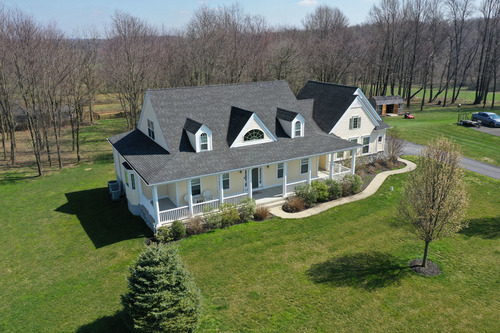
- Orbitals for 3D modeling of buildings
- Real Estate sales and marketing
- Documentaries
- Weddings and events, group shots and group activity videos.
- Monitoring Active construction sites, excavations, etc.
- Stormwater Facility Inspections