Photo gallery
Have a site with challenging or contaminated stormwater runoff? – Call Bill at SECI. Whether you are planning a new project or retrofitting an existing site, SECI can evaluate your site and provide the best solution to fit your needs and minimize the release of contaminants to receiving waters downstream. Call today, help save the bay.
Coastal Geology Meets Surveying and GIS
6 items. (Click images to view in lightbox)
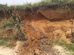
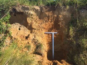
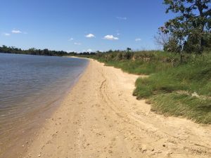
View showing the ten-foot high bank subject to mass wasting due to undermining of non-cohesive sand and gravel by wave action
All images copyrighted Stephens Environmental Consulting, Inc. Downloading and reuse is prohibited by law.
Where: Calverton
When: 08-14-2017, 09-08-2017
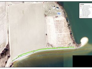
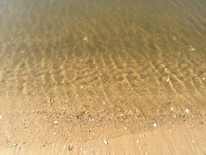
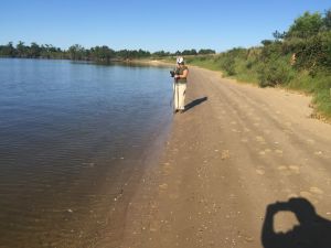
SECI was engaged to assess the vulnerability of three coastal high-value cultural resource sites in Maryland. SECI used a combination of field survey, geological assessment and GIS based techniques to determine the extent, rate and characteristics of shoreline change. In this case, SECI determined that the average rate of shoreline recession was approximately 1ft/year due primarily to the susceptibility of non-cohesive granular soils to wave action and storm surge.